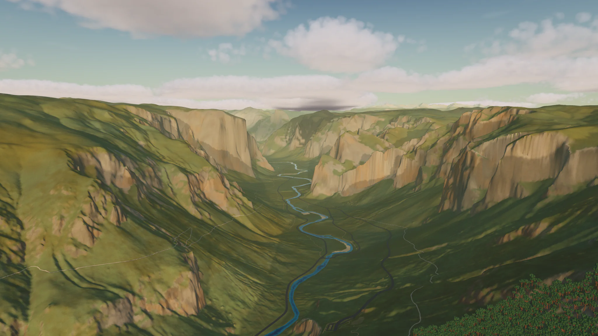
Low Poly Earth
The whole planet in 3D.
For Mac with Apple silicon.
From orbit to the Matterhorn
The whole Earth in 3D, built from open map and elevation data.
Explore
Pan and zoom from orbit to street level. Search for any place by name.
Fly
Press P to fly. Three vehicles: Kestrel, Phase Manta and Sparrow.
Photograph
Set the date, time and weather. Save the view as a 4K image.
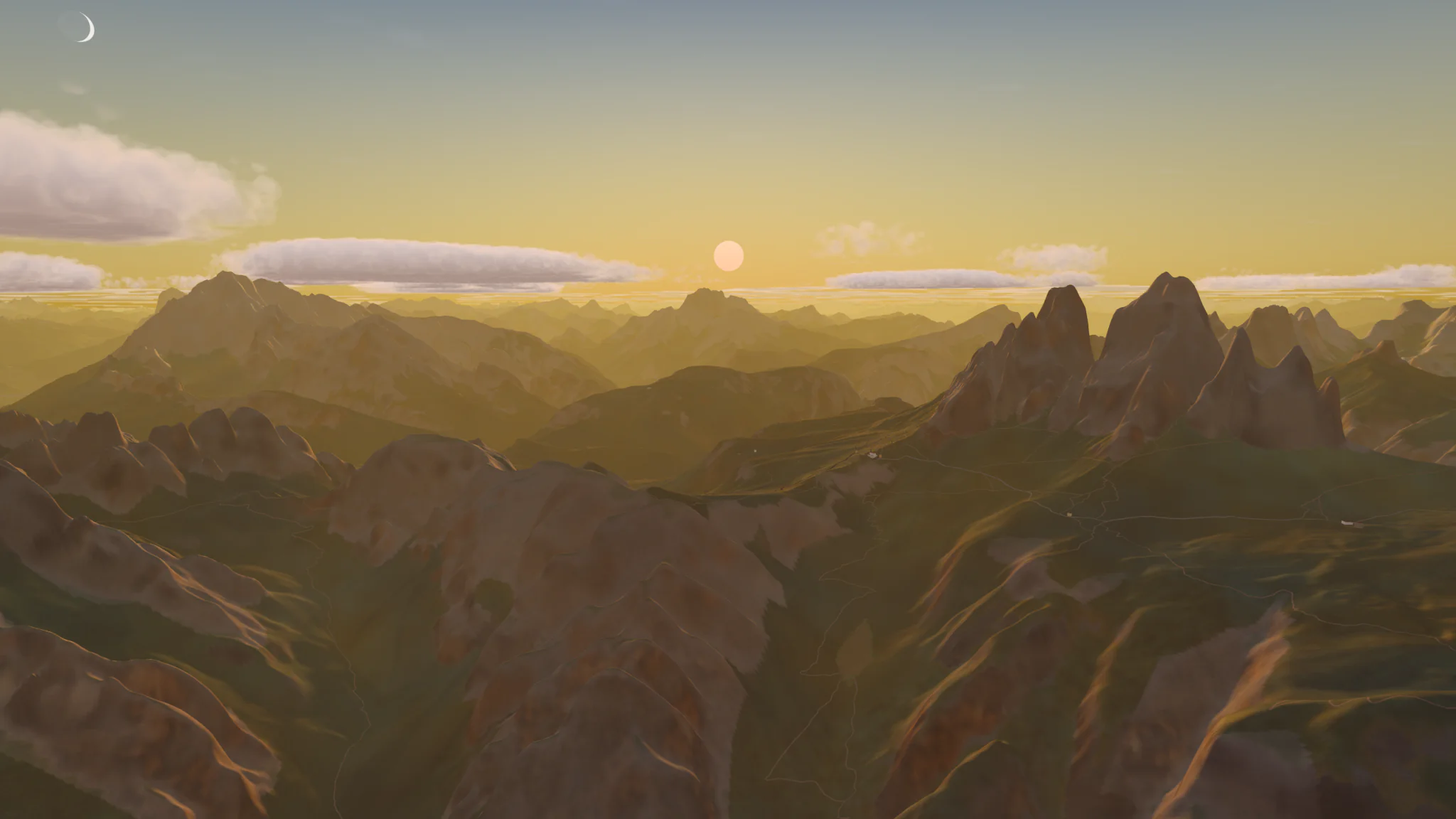
Dolomites
Italy. Tre Cime at sunset.
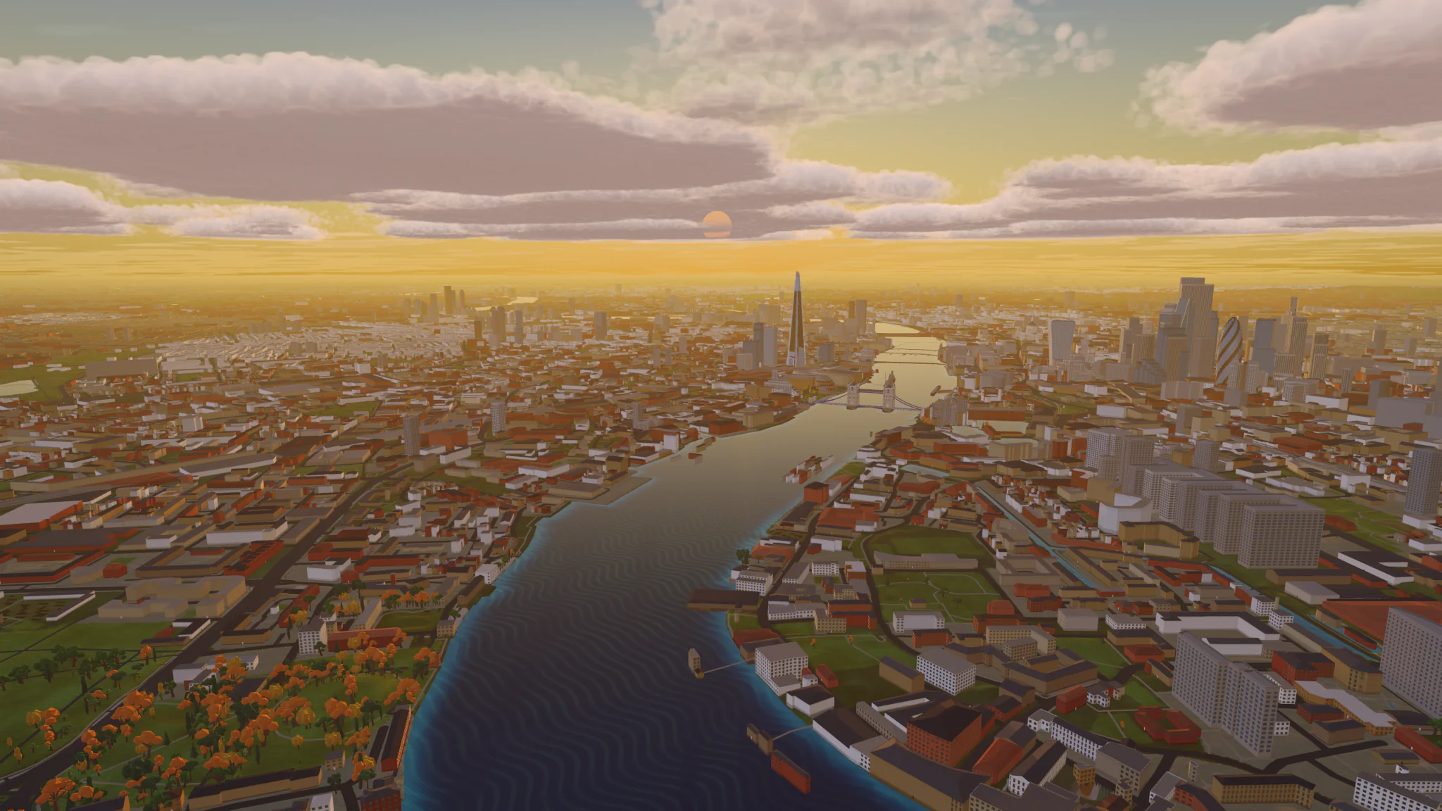
London
United Kingdom. The Thames at sunset.
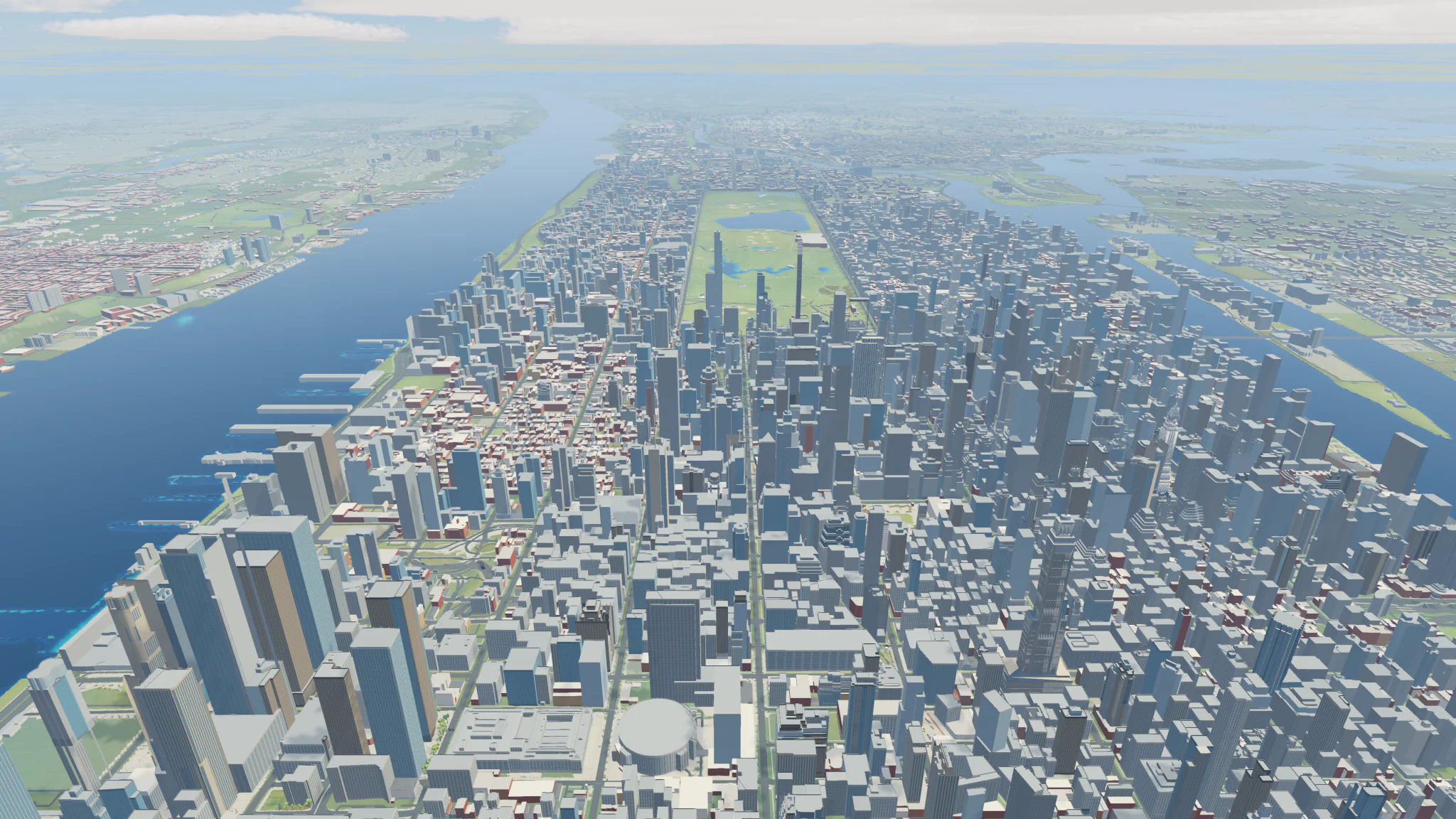
New York
United States. Midtown and Central Park at midday.
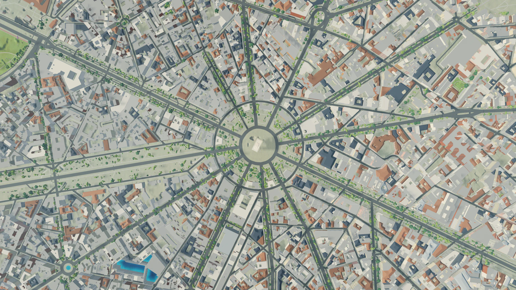
Paris
France. Place Charles de Gaulle, straight down.
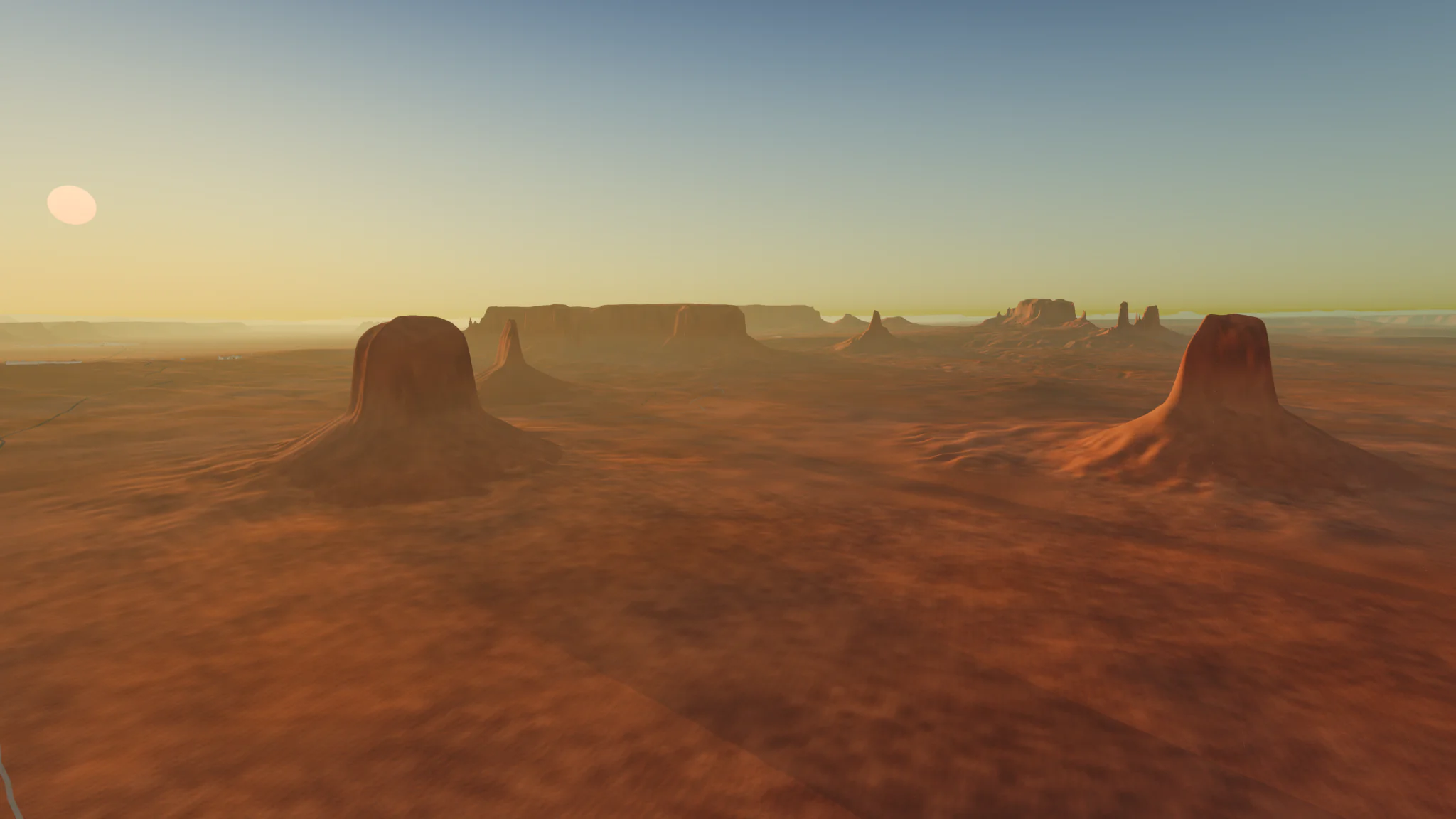
Monument Valley
United States. Buttes at sunset.
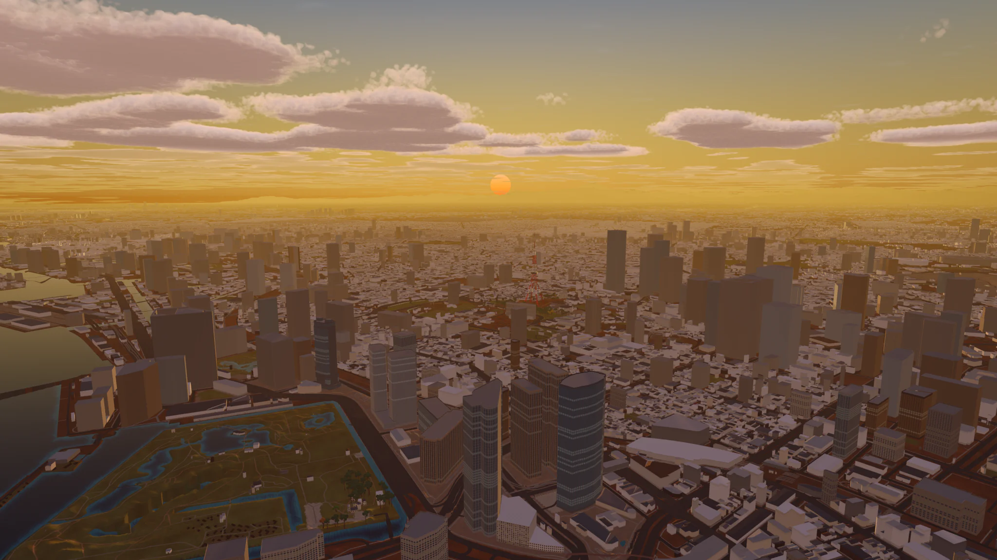
Tokyo
Japan. Chiyoda at sunset.
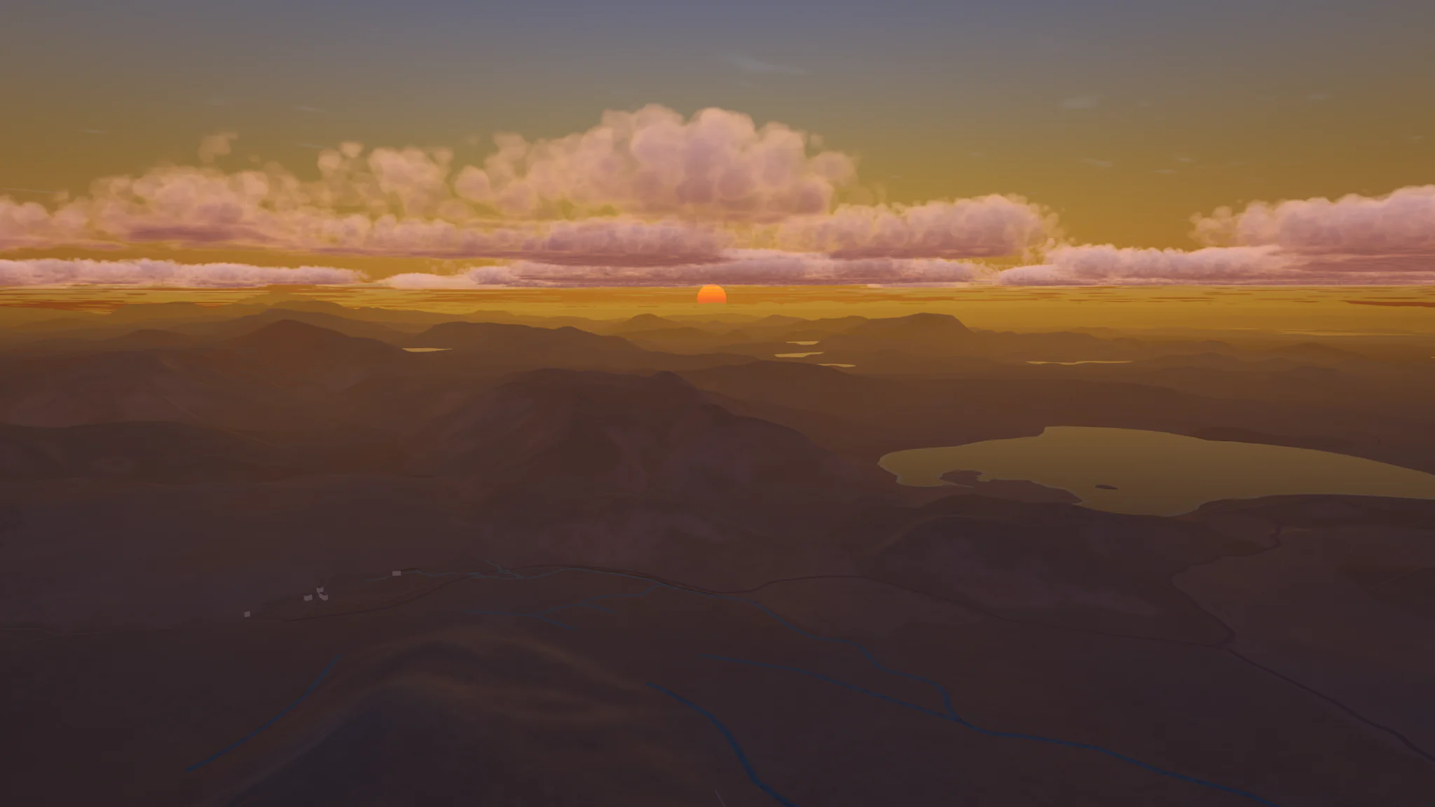
Icelandic Highlands
Iceland. Highlands at sundown.
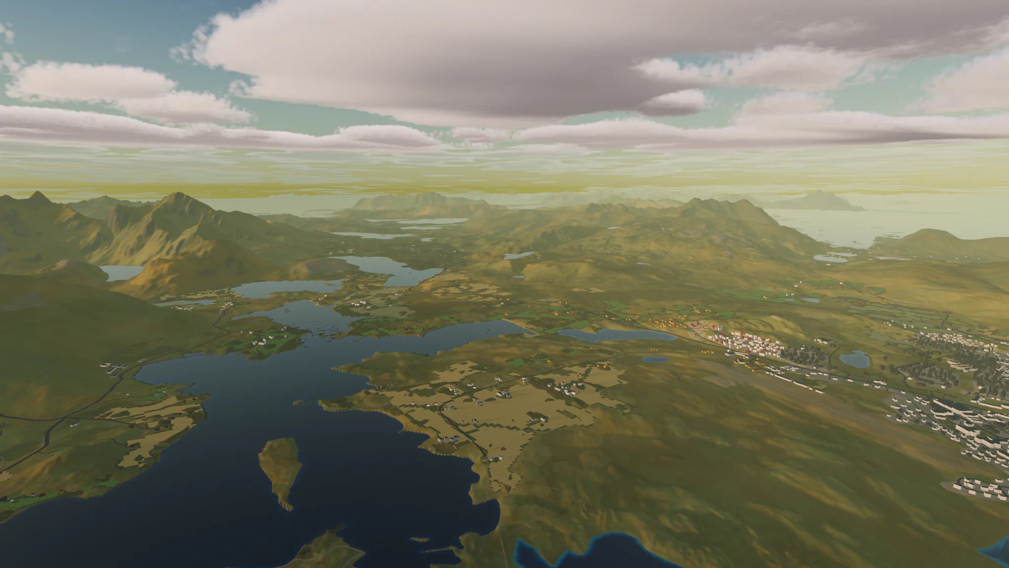
Lofoten
Norway. Islands in the evening.
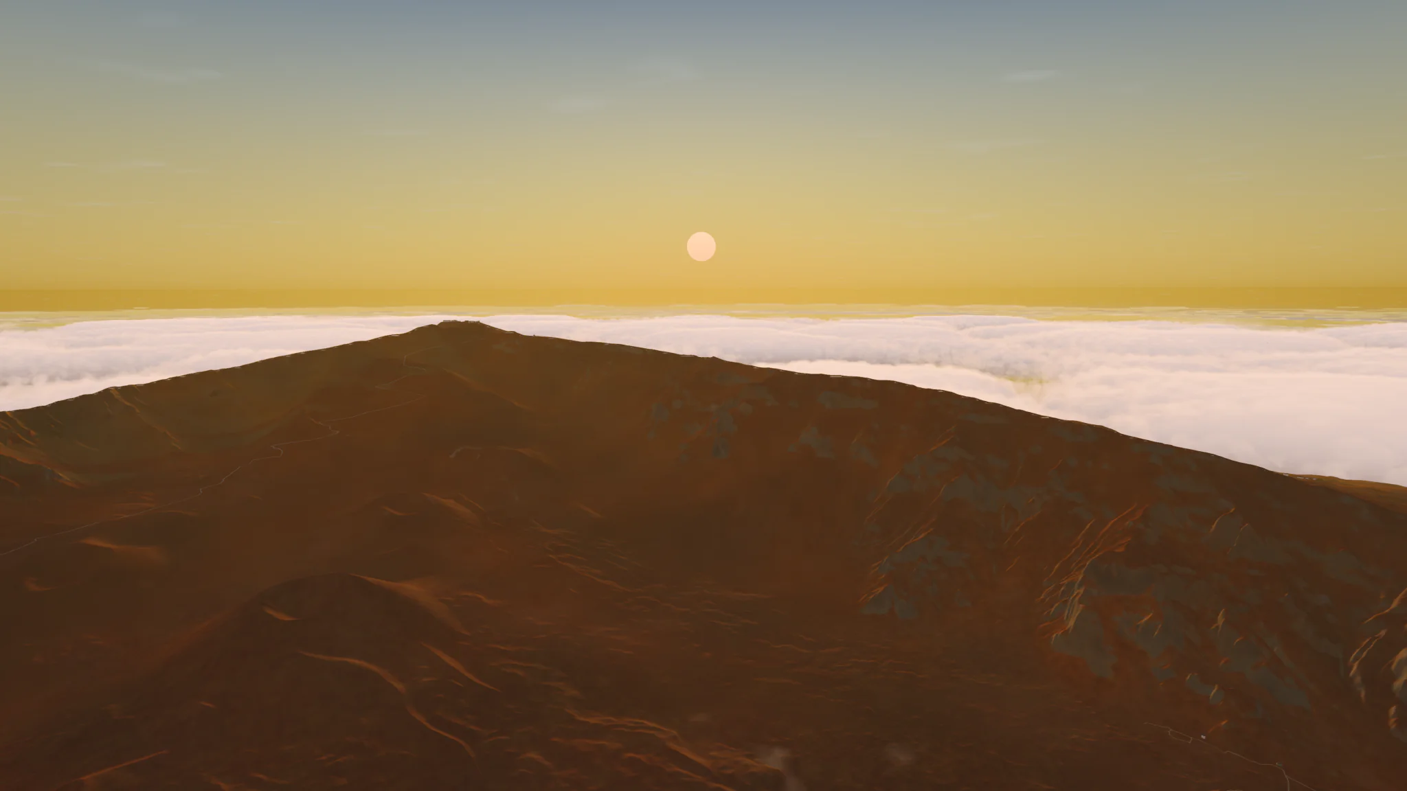
Haleakalā
United States. Summit above the clouds at sunset.
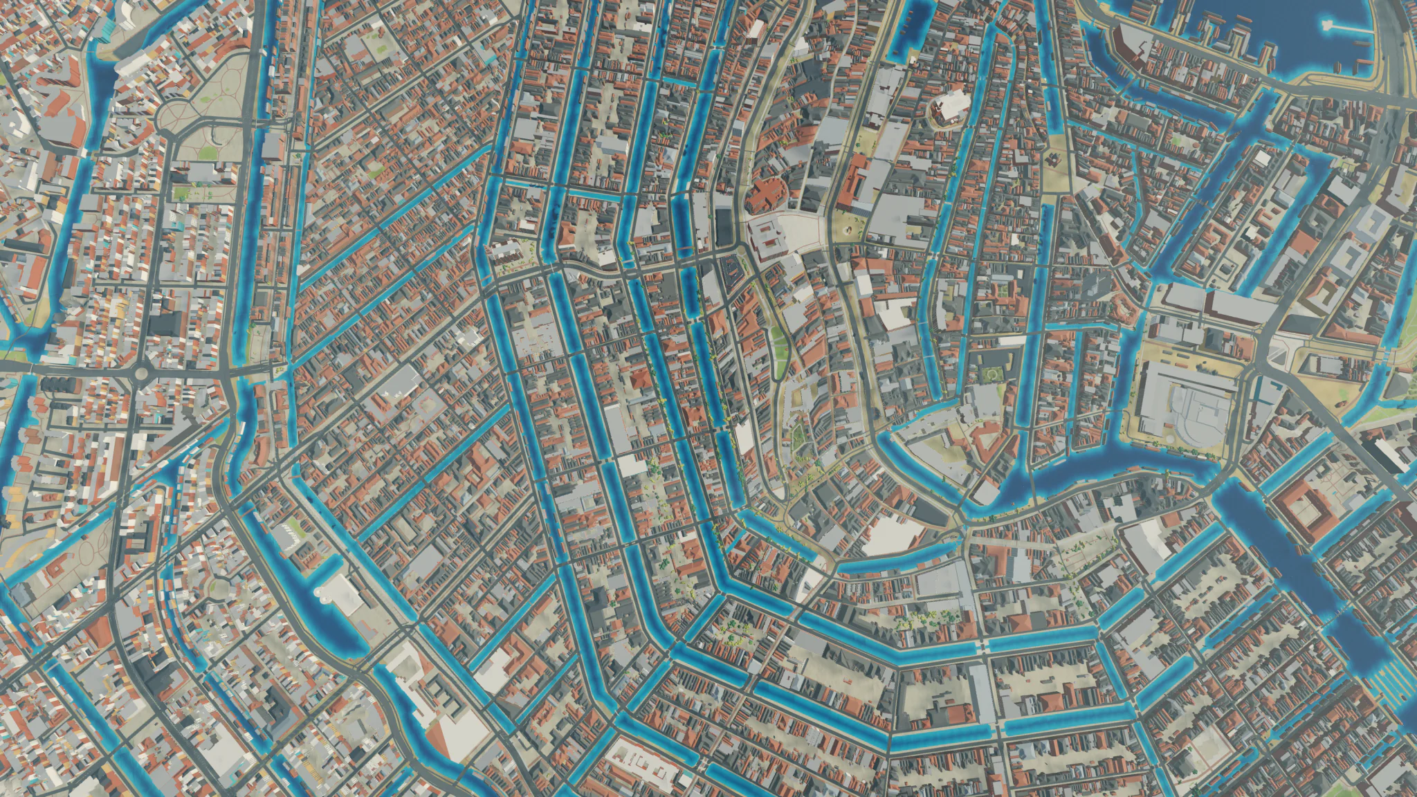
Amsterdam
The Netherlands. Canal rings, straight down.
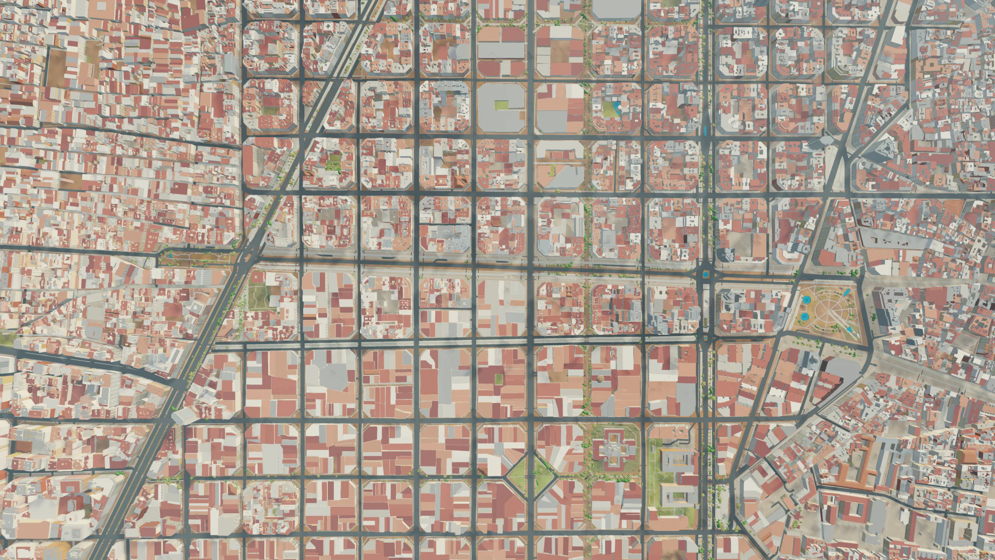
Barcelona
Spain. Eixample grid, straight down.
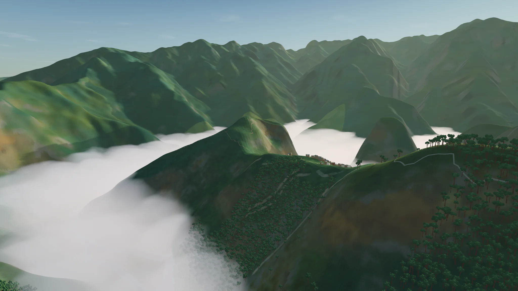
Machu Picchu
Peru. Ridge above valley cloud.
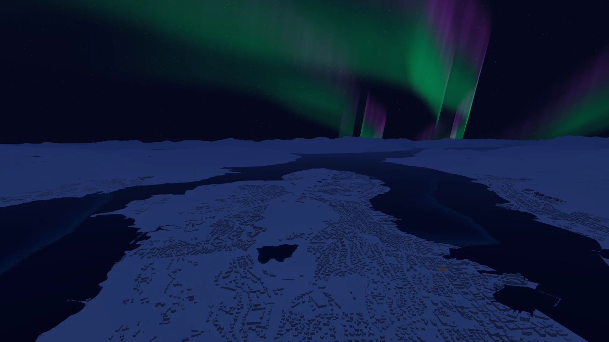
Tromsø
Norway. Aurora over the city at night.
Landmarks
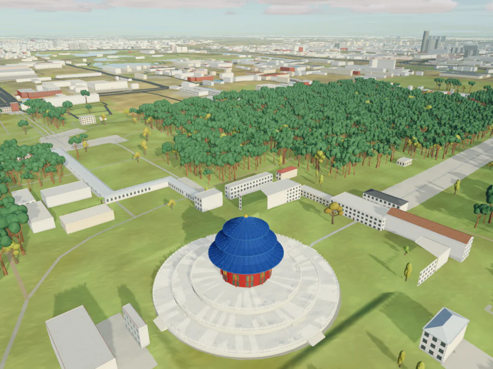
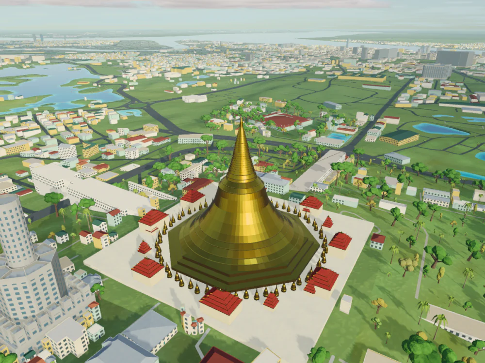
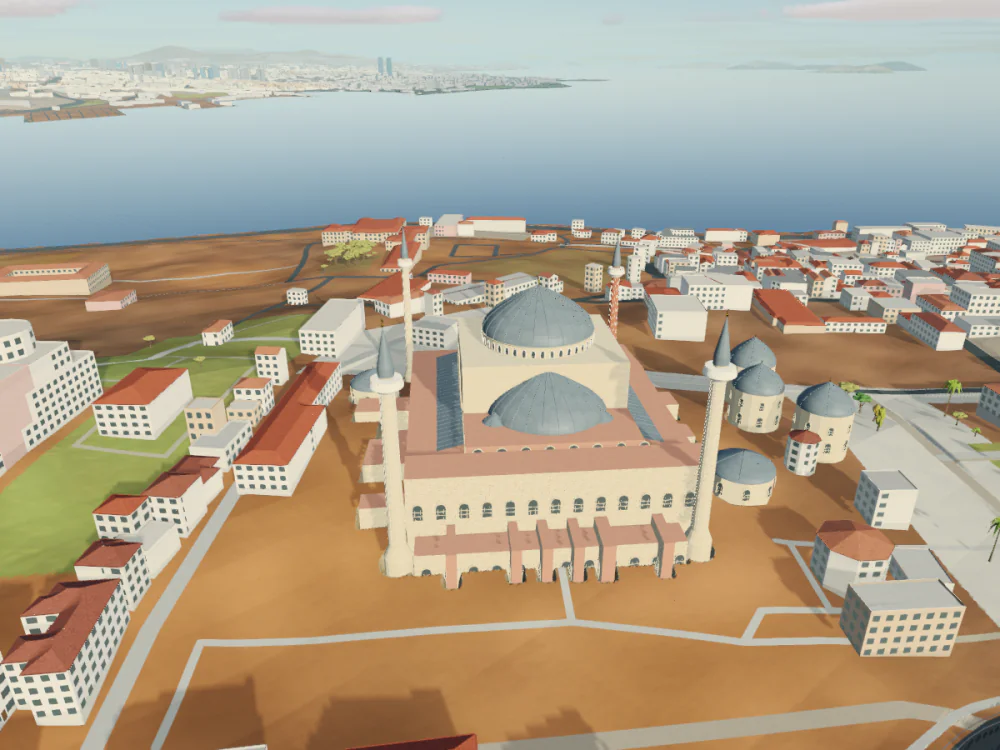
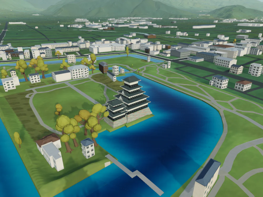
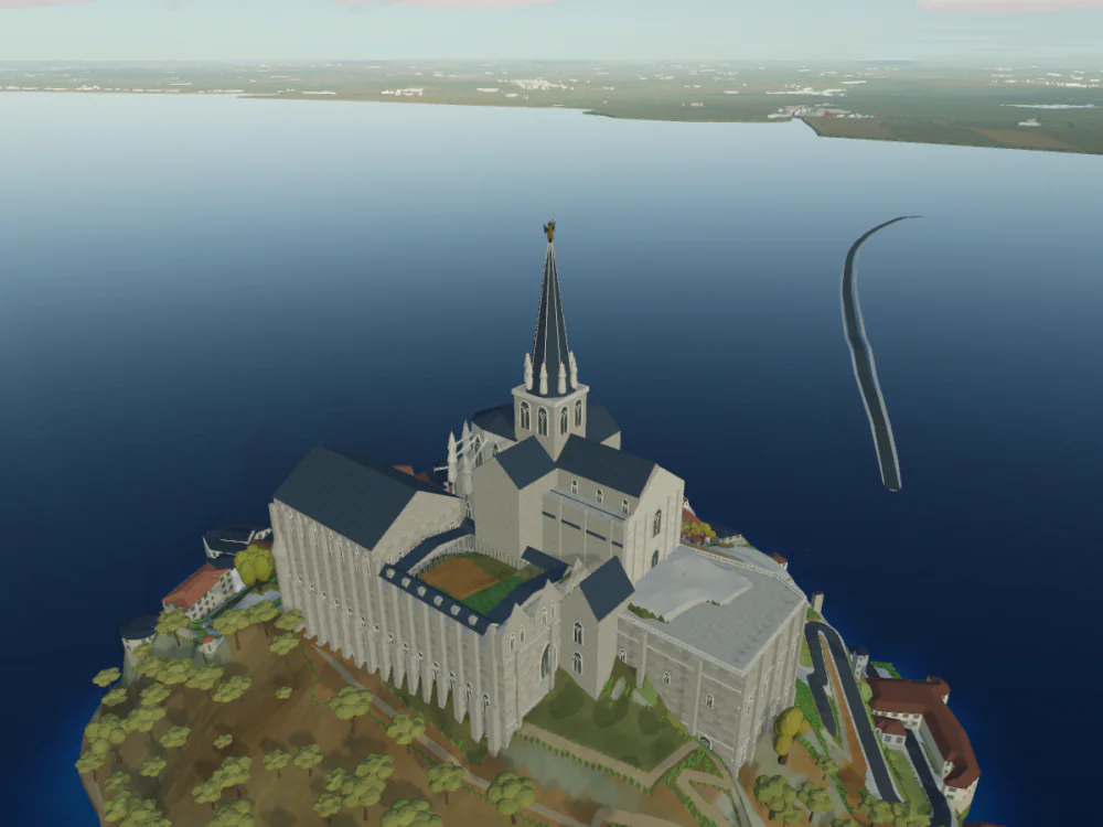
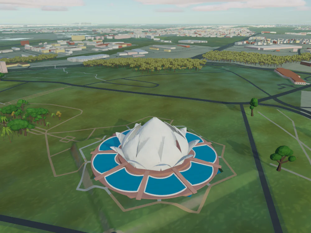
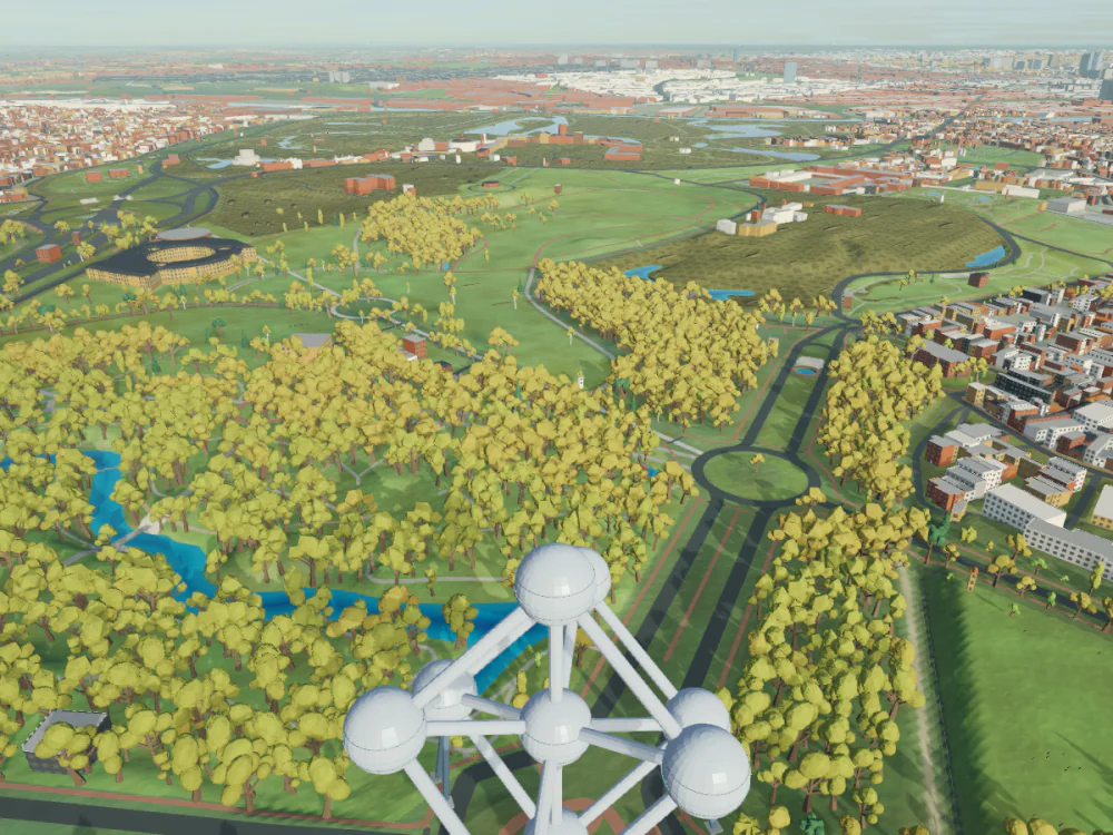
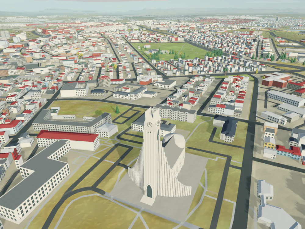
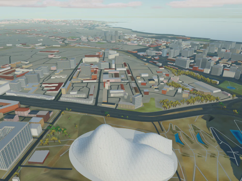
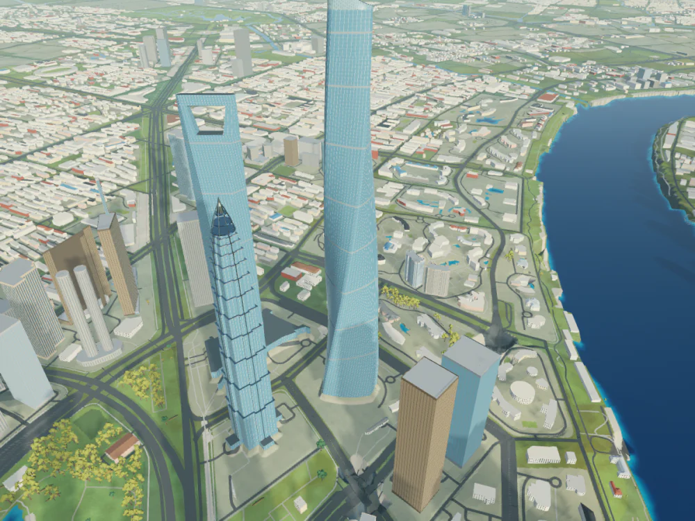
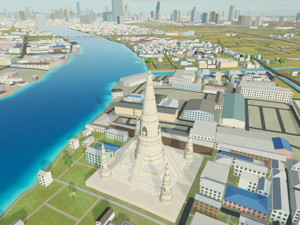
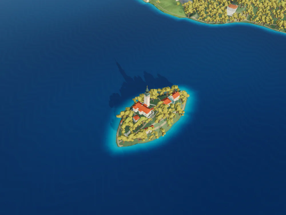
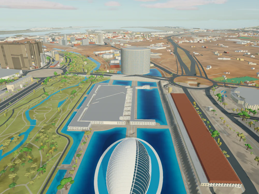
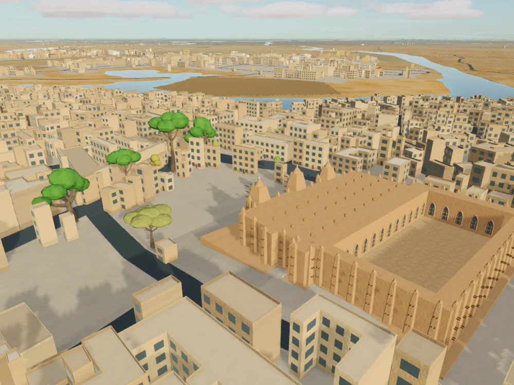
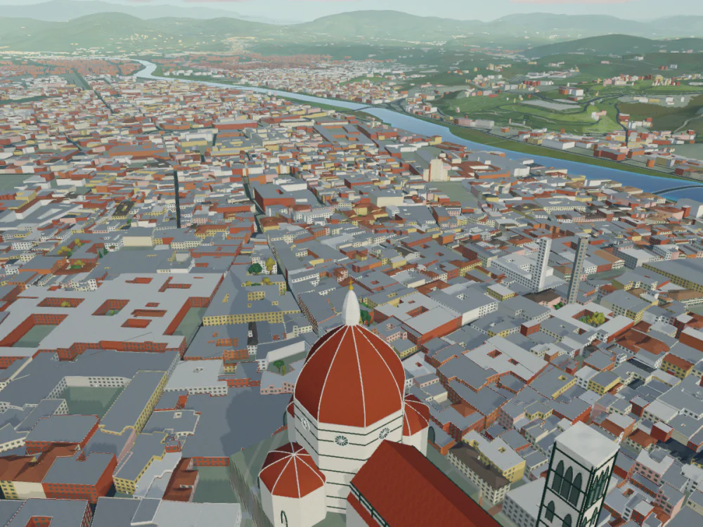
231 landmarks are modelled individually, from cathedrals and castles to towers and temples. Here are 15. Can you find all 231?
What it does
Terrain
Elevation for the whole planet, with finer detail where national data exists.
Cities
Buildings, roads and water from OpenStreetMap. Buildings follow the local style of their region.
Light
The sun, moon, stars and aurora follow the date, time and location. Step the clock by an hour with [ and ].
Weather
Simulated clouds, rain, snow and fog, with seasonal snow cover. Not a live forecast.
Photos
Saved as 4K PNG files in Pictures/Low Poly Earth, each with a JSON file recording the camera, place and time.
Search
Find any place by name or pick it on the world map. The camera flies there from wherever you are.
Controls
Explore
- Drag
- Pan
- Scroll
- Zoom
- ⌘ or Ctrl + drag
- Rotate and tilt
- WASD or arrows
- Pan
- Q E
- Rotate left, right
- R F
- Tilt up, down
- + −
- Zoom in, out
- /
- Search
- Enter
- World map
- T
- Show the place name
- [ ]
- One hour back, forward
Fly
- P
- Start or stop flying
- WASD
- Move and steer
- Shift
- Boost
- Space C
- Rise, descend
- Space
- Jump, on the Sparrow
- V
- Next vehicle
- 1 2 3
- Kestrel, Phase Manta, Sparrow
- Esc
- Show or hide the controls
- ⌘ ,
- Settings
Settings has six tabs: Interface, World, Flight, Data, Photos and Storage. Turn data sources on or off under Data. Clear downloaded data under Storage.
33 photographs
All rendered in the app.
Mac App Store
- Status
- In development
- Release date
- Not announced
- Price
- Not announced
- Requires
- Mac with Apple silicon
Can I download it now?
No. There is no public download or release date yet. It will be sold through the Mac App Store.
Which Macs does it run on?
Macs with Apple silicon. Intel Macs, Windows and Linux are not supported. Final requirements will be listed on the Mac App Store.
Is this the real Earth?
It is built from real elevation, imagery and map data, with procedural detail added. Accuracy varies with the data available for each place.
Does it need an internet connection?
Yes, for full detail. Buildings, roads, water and fine terrain stream from online map and elevation sources. Without a connection, only the bundled global terrain and imagery are shown.